Features | Feature Listing | Feature Measurement
There is a myriad of characteristic land and water patterns that must be identified. Aerial photography is perhaps the least expensive and most practical method of effective land pattern identification currently available. According to D. Way (1973), typical air photo interpretation characteristic pattern elements are:
-
- Topographic patterns are identified in terms of the degree of dissection and continuity.
- Drainage patterns are evaluated in terms of their type or texture.
- Surface features are identified by their photographic tone and/or color.
- Erosion features such as gullies are identified.
- Vegetation and landuse features are identified.
- Other miscellaneous features such as rock fractures, rock outcrops, and geobotanical indicators are identified.
To be valuable to GIS applications each map attribute, map feature, or map component (deemed necessary) must be quantified in a unit of measure appropriate to that feature.
Feature Categories, Measurements, and Conversions Index:
-
- Climate
- Geology
- Soils
- Topography
- Water
- Vegetation
- Wildlife
- Conversions
What information is needed for my project?
The required map information is established using standard land planning processes (models). Particular models require particular map data.
One must be very thorough in the initial (inventory) phases of the Geographic Information Systems process. Existing local features are always an integral part of determining an appropriate community development plan. Field visits, photographs, and (land and water) maps are used to identify, and then inventory (in terms of absence or presence) all significant local features. Next, it is important to determine how to “best” represents the collective features (accurately) on an existing, or newly created (base) map.
The data collection process is sometimes called “feature inventory.” The following listing suggests the type of features that could (or should) be identified, inventoried, and classified. Features should be “of value” to the information-gathering effort.
-
- Does (other) more accurate or reliable information currently exist?
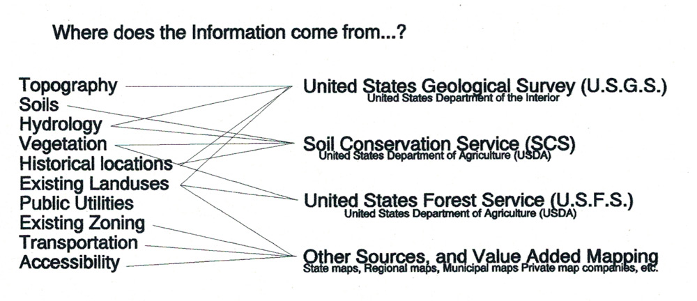
- What agencies or organizations have useful information? (USGS, SCS, USFS, etc.)
- Which paper or electronic maps have specific features? (USGS topography, etc)
- Is the particular feature “under consideration” needed in this GIS project?
- Will the overall quality of the project suffer if I do not include this feature?
- What are the units of measure that “quantify” each of the map features?

Features should be “of value” to the information-gathering effort. As you study a map (or photographs) of an area, always ask a few practical questions before deciding to use or discard a feature from the exhaustive list of data inventory possibilities.
Some map features are measured directly, others are interpreted indirectly. Specific categories of map feature classifications will always vary depending on the use, and the user.
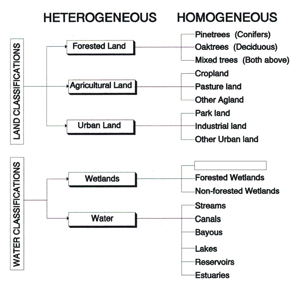
The following are suggested map feature classification categories utilized by the U.S. Geological Survey, et al. (Listed by general land activity category).
The Features list includes examples from both the Built and Natural Environment.

