
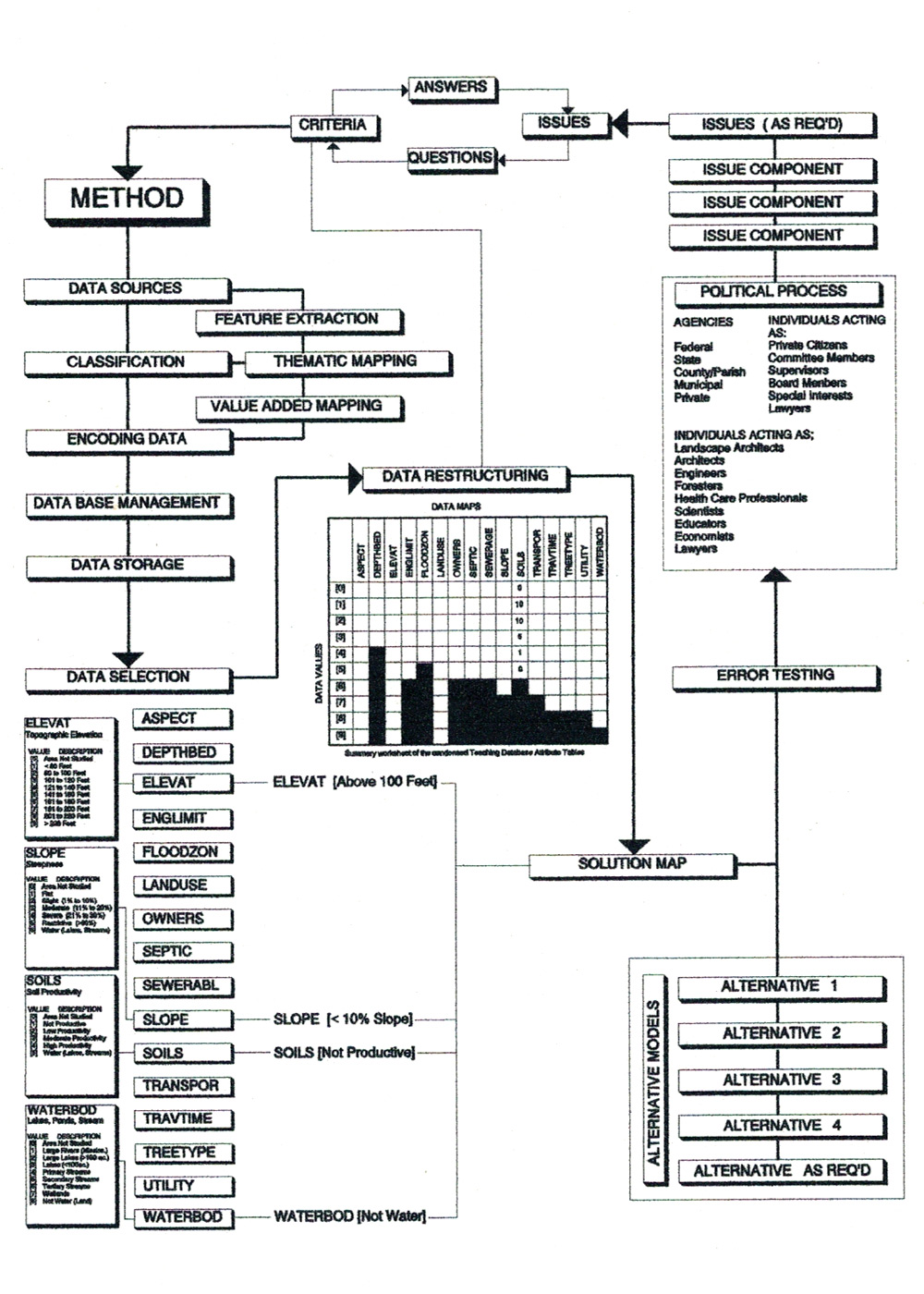
Examples of Desired Map Types
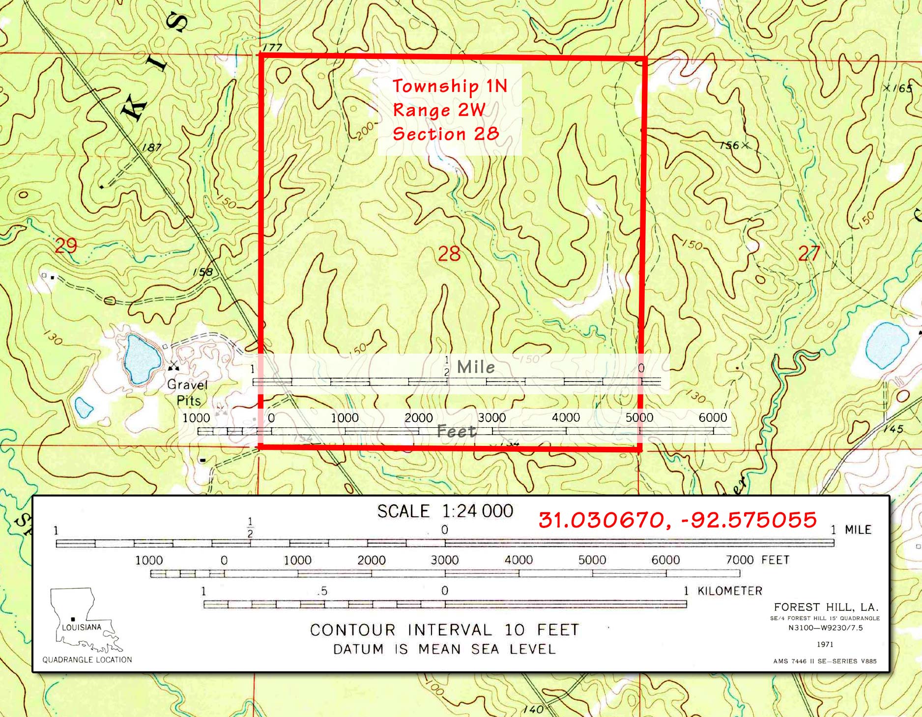
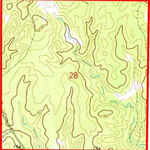
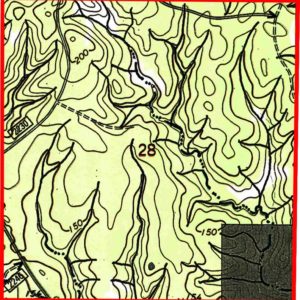
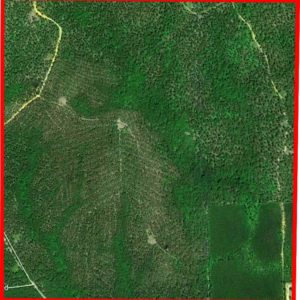
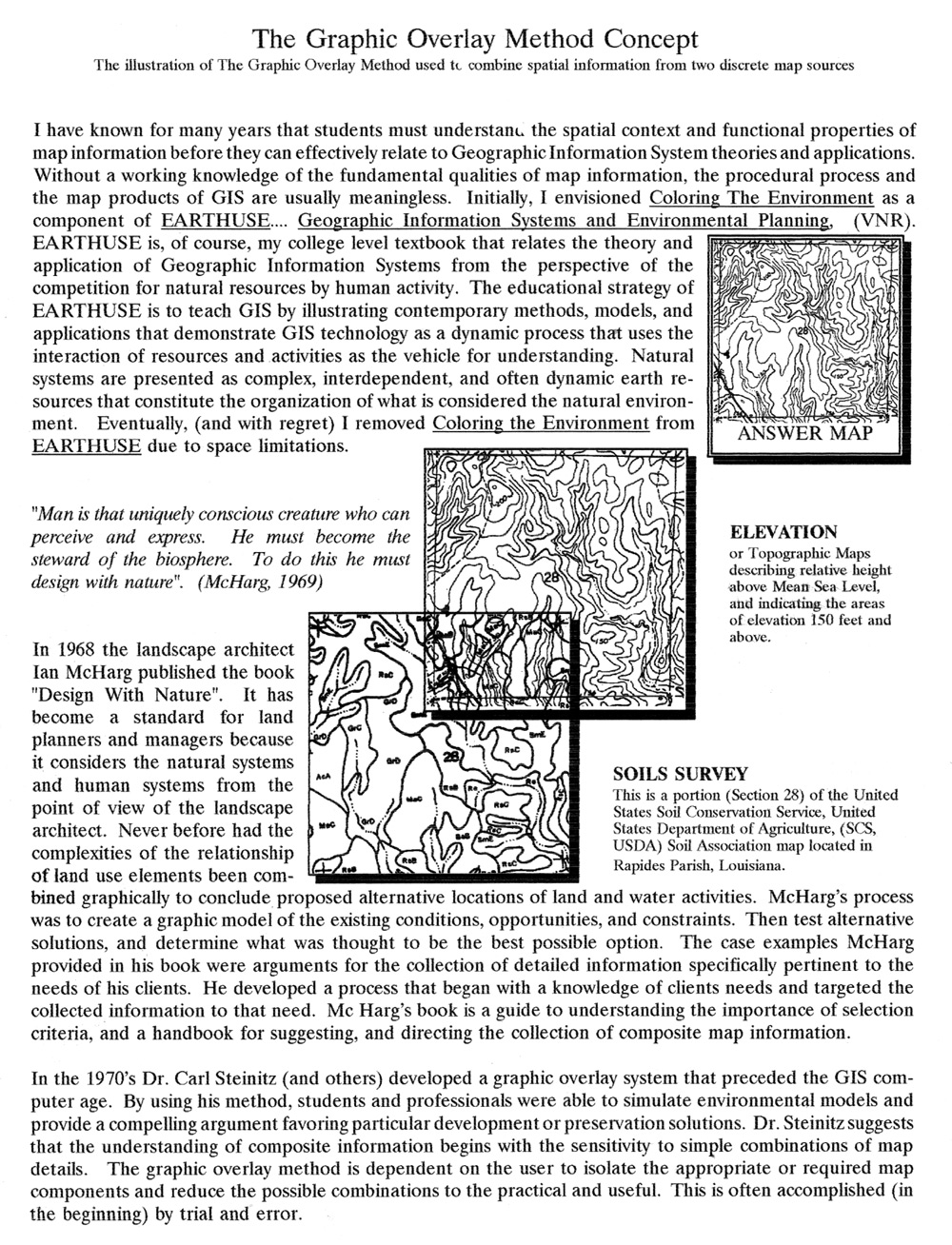
The Kisatchie National Forest - Section 28 - "Study Area"

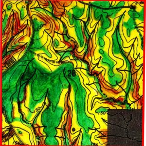
Steepness Map
Green is relatively flat, Yellow is moderately steep, and Red is very steep.

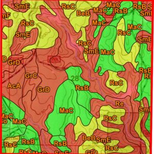
Soils Rating for Small Buildings
Red is very limited, Yellow is somewhat limited, and green is not limited.
Maps in Combination
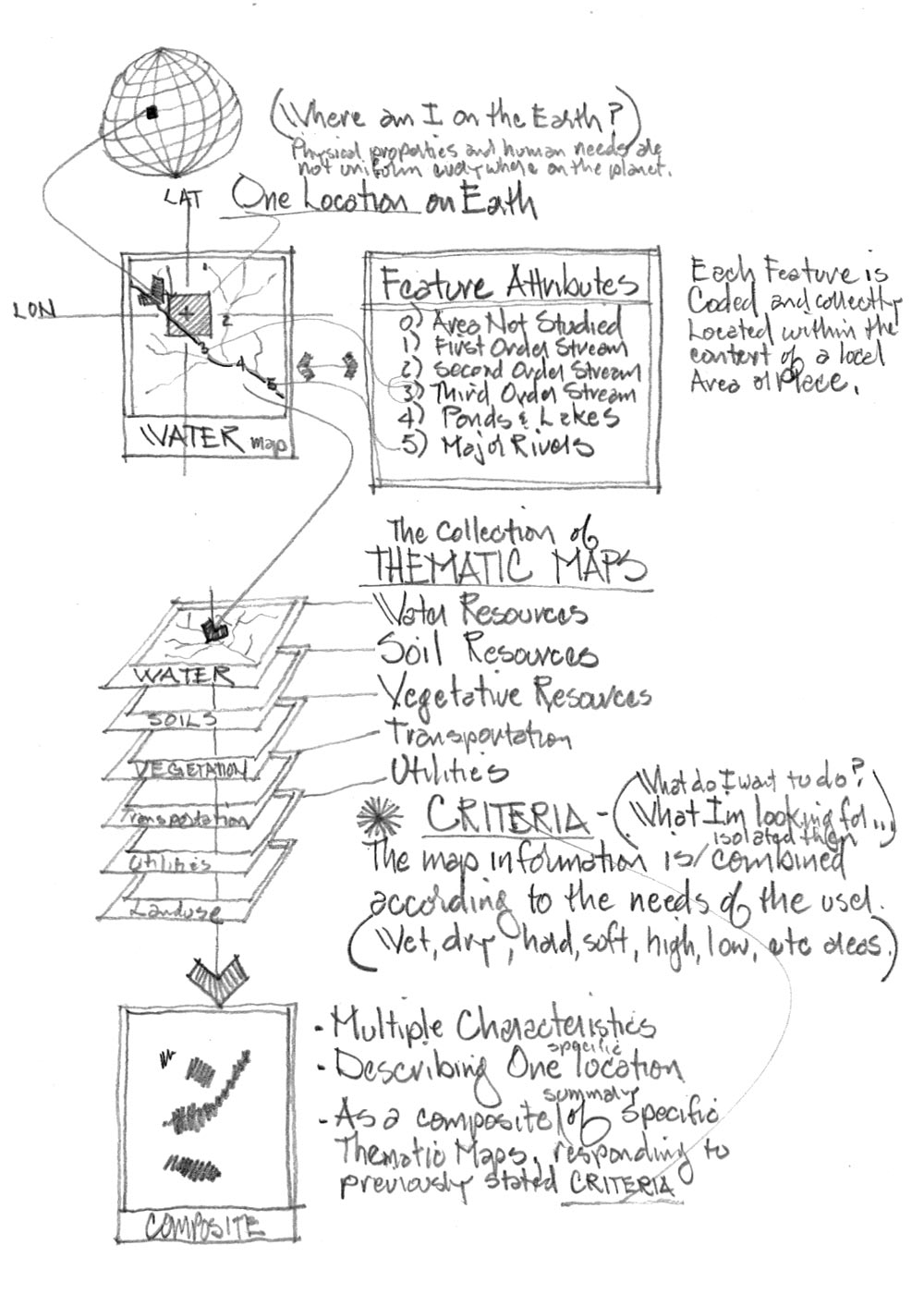
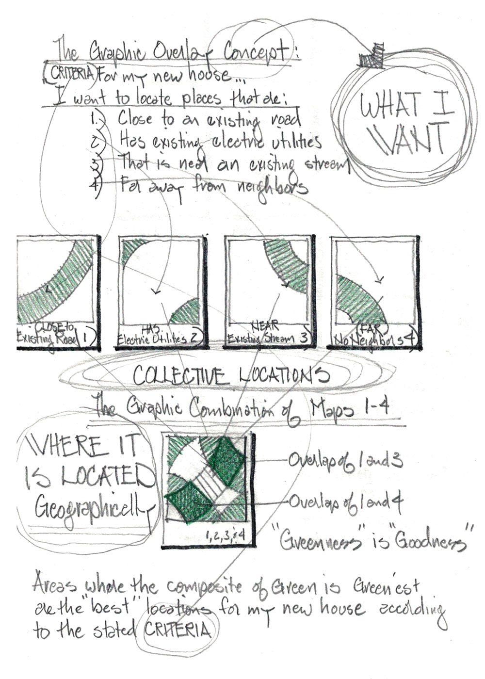
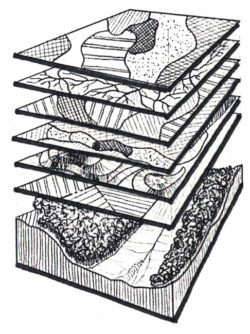
Single maps often have “desireable” information, but maps in combination help our understanding of appropriate locations to build or avoid.
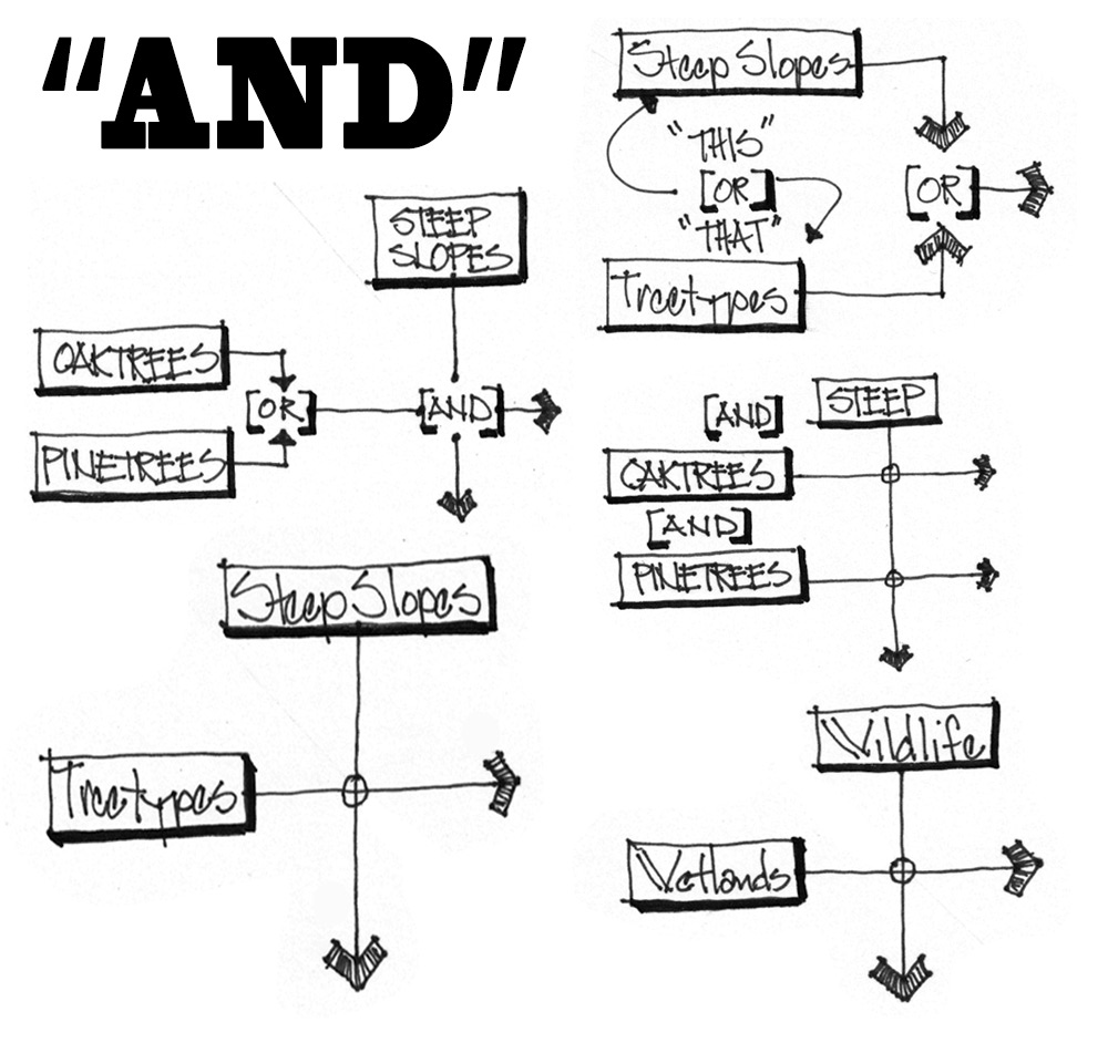
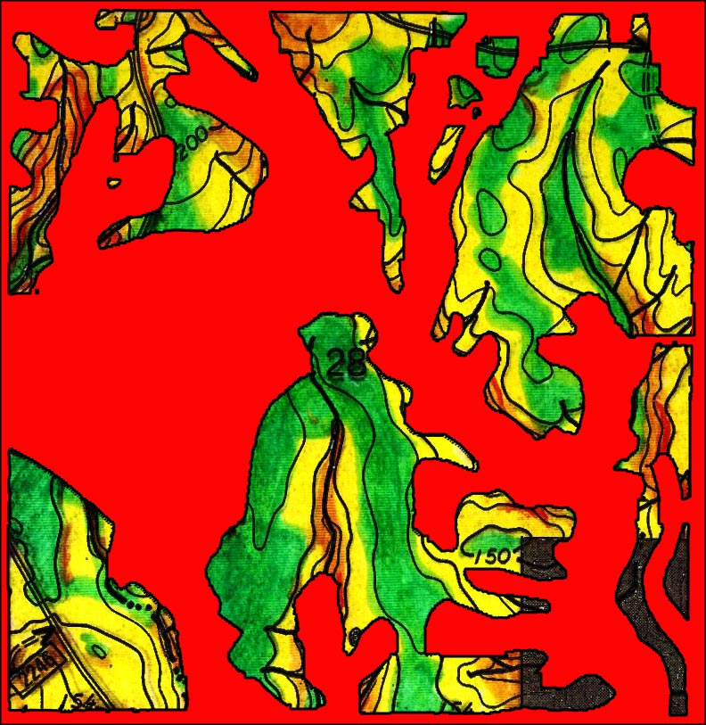
Combination of Two Maps - Steepness and Soil Limitations
Bright Red defines “Very Limited Soils” – Muted Green areas are the desired locations for small buildings. Yellow areas have some physical limitations, and Red are usually too steep for small building locations.

